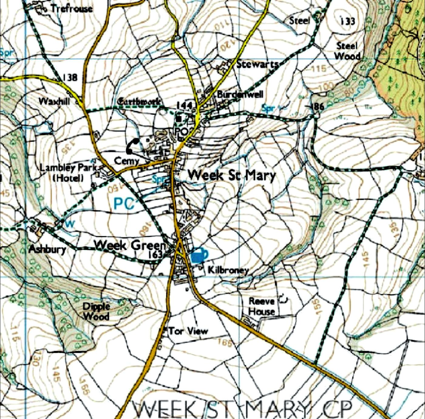
Week St. Mary (OS Reference: SX236975)
Directions:
• From A30 (Launceston) follow the Bude road (B3254) for about 10 miles until a left turn to Week St. Mary appears. Turn left then after about ½ mile go ahead at a crossroads; after another ½ mile, at the end of the road, turn right towards the village. Down over a little humped backed bridge, rising up through the crossroads of Greenamoor made famous by Thomasine Bonaventure. The village is about 1 mile ahead.
• From Holsworthy, take the Bude road (A3072) for about 6 miles, turning left at "Red Post" crossroads towards Launceston (B3254). Continue on this road for about 4 miles, passing through the small village of Whitstone. Within a further ½ mile, turn right, signposted to Week St. Mary. After about 2 miles, at the crossroads of Greenamoor, turn right towards the village of Week St. Mary. The village is about 1 mile ahead.
• From Bideford (A39), continue to travel south down the A39 for about 25 miles, passing through the outskirts of Bude & Stratton, then carry on down the A39 for a further 5 miles until you pass through the small hamlet of Bangors (Poundstock). Within ½ mile turn left towards Week St. Mary. The road is narrow and winds up and down 2 valleys until after 1½ miles you turn right at a T-junction in towards the village about ½ mile ahead.
Image produced from the Ordnance Survey Get-a-map service.
Image reproduced with kind permission of Ordnance Survey.

50º 45'03.84N 4º 30'01.39W OS: SX 237977 Elevation: 142m
© All of the content of the Week St. Mary website is the copyright of David Martin & Linda Cobbledick except where stated